June 24, 25, 26, 27
June 24: The first night in Illeret was eventful. The winds picked up more than most of us wanted. Not sure the actual wind speed but it was at least 30 mph. Then a few hours later the rains came through. Most students did not have a rainfly on their tents due to the heat, however at 2am there was a mad dash to cover tents and help each other with the parachuting covers. After that the rains stopped but the wind continued. Sometime within the next 2 hours the rains REALLY came. It was a down pour and I have heard some people got rather wet tents and equipment.
Morning arrived quickly on June 24 with breakfast at 6am. There are around 6 different teams going to 6 different places. My educator counterpart Chelle leaves at 730 with the human biology team while I leave with the natural systems team looking at vegetative differences in abandoned Bomas versus occupied Bomas. Biodiversity, soil morphology/chemistry, pastoral movement patterns both human and livestock. The Bomas research looking at coupled natural human systems has a unique connection to Nebraska’s ranching and land use communities. As the data is gathered we (Chelle and I) get to transfer the accumulated information into a viable high school lesson plan. This is actually very exciting to us, but maybe not so much to the non-educator. So I leave around 8 due to waiting for the human bio team to be dropped off and the vehicles return to pick us up and travel to the research site.
Morning surveying complete and lunch is now done. We have had about a 1 hour break then back out into the field running transects in Bomas. Inside the boma area we collected about 220 vegetative data points and outside the boma we got 150 points and need to get 150 more when we go back. After that boma is completed we will work on completing another boma in entirety. Tomorrow I join the human bio team.
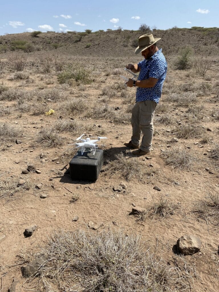
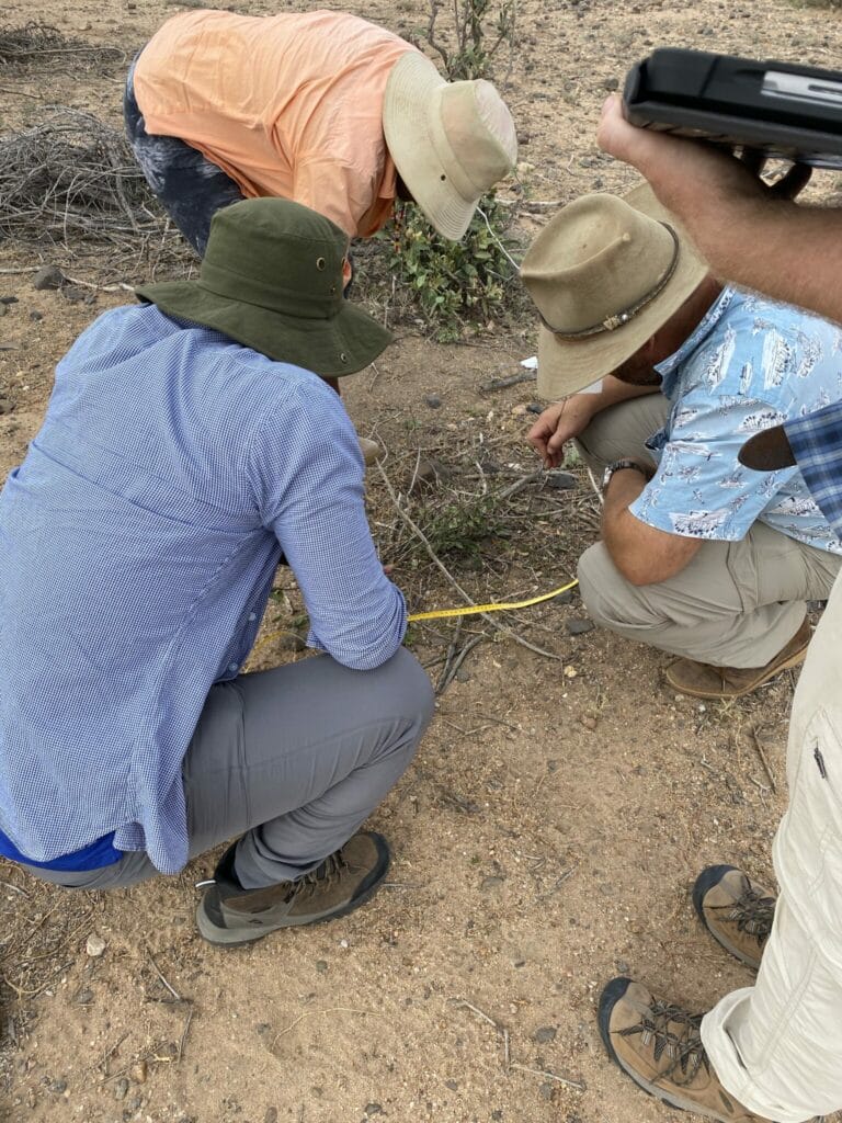
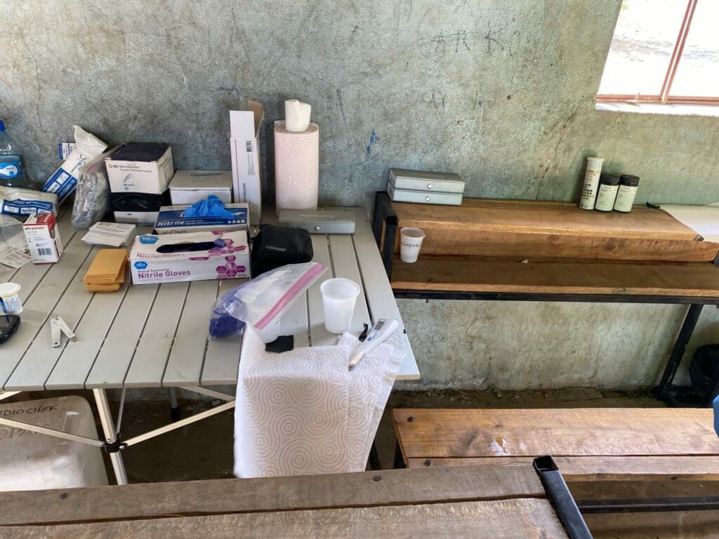
June 25 -27 we visited a Daasanach village (boma) to sample the vegetation in an active Boma area as well as gather anthropometric data on some of the locals. The data collected from the Daasanach is very similar to the data taken from school students or a visit to the doctor. Height, weight, body fat (using a bio impedance scale like some people have at home), and survey questions about water needs, uses and gathering. Considering this area has a bi-modal rainy season with very dry seasons between, understanding how the Daasanach locate water sources for themselves and all their livestock is helpful to understanding how these communities have been able to thrive for 4,000 years using pastoralist as a means of living.
So far all research points to one of the greatest intimate knowledge of land use and practiced among any people in the world. The Daasanach have increased biodiversity and soil richness through their pastoral methods. They use Bomas for however long the land indicates then move to another site. Materials get reused and repurposed to benefit each individual Boma community or village. Further research has shown the social networks developed over time has sustained the entire region during extreme droughts (which is occurring right now). The Daasanach have been able to switch to fisheries during times of need by pausing large scale pastoralism (backed by archeological research) then restocking with livestock from their extensive social network (not cell phone network but actually speaking to fellow humans).
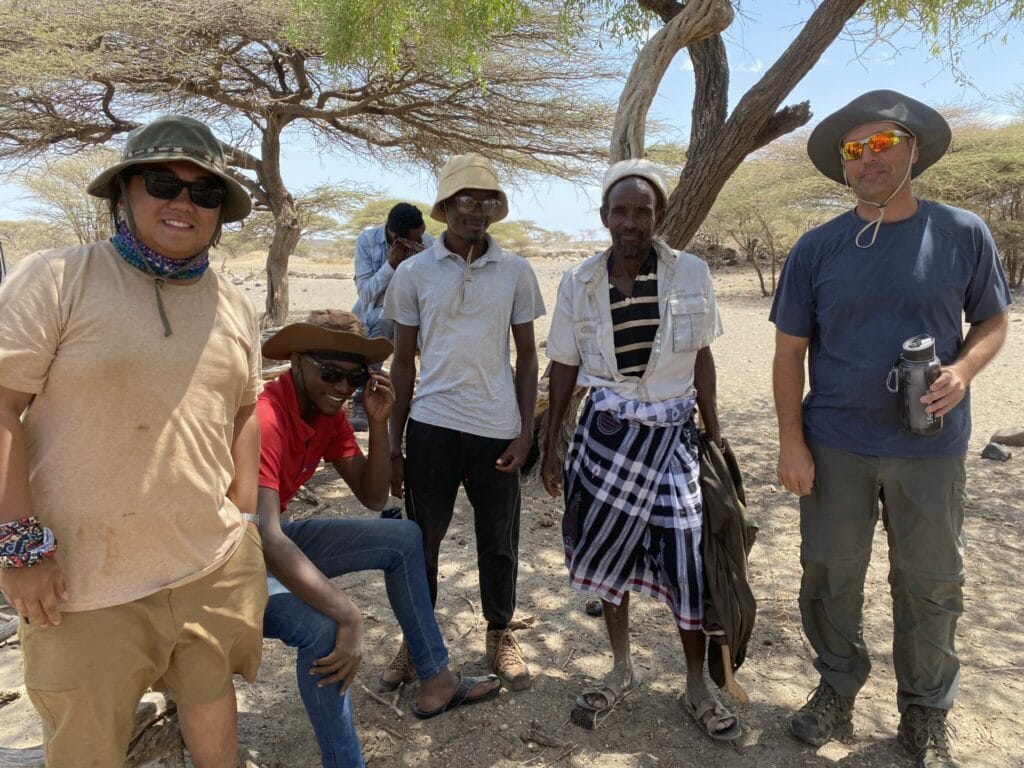
I do have permission to photograph and post some of my time with the Daasanach. Since I am taking most of the pictures my fellow researchers here are in most of the pictures that have a non-Daasanach in them.
